
Yavapai County, AZ · Yavapai County
Elevation of Floodplain Property
Registered professional engineers and land surveyors use this form to report ground elevations at a proposed building site in a flood hazard area.
At a glance
- Issued by
- City of Yavapai County · Yavapai County, Yavapai County, Arizona
- Notarization
- Not required: file this form without a notary.
- Official source
- yavapaiaz.gov
- Blank form
- Download the PDF
- Catalogued
- Machine-readable
- JSON record · about the forms index
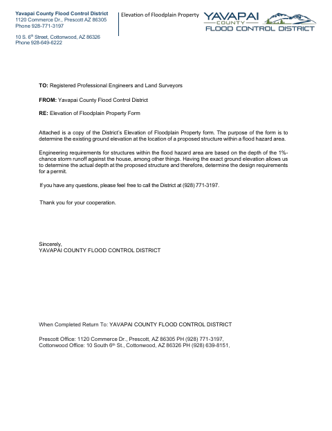
What this form is
This form records the existing ground elevation at a proposed structure within a flood hazard area so the District can determine runoff depth and permit design requirements. It asks for property and owner information, survey benchmark and ground elevations, surveyor comments, and a sketch showing the benchmark and building site. The sketch must include at least three location representations and parcel-line distances.
Who needs it
Registered professional engineers and land surveyors complete the form to provide elevation information for a proposed structure in a flood hazard area.
How to submit it
Return the completed form to Yavapai County Flood Control District at 1120 Commerce Dr., Prescott, AZ 86305, or 10 South 6th St., Cottonwood, AZ 86326.
About notarization
This form is signed and dated by the surveyor without a notary; no notarized or sworn attachment is identified.
How to submit this form
- 1
Download the Form
Download the Elevation of Floodplain Property form.
- 2
Complete the Form
Enter the property, owner, benchmark, and ground elevation information, and have the surveyor sign and date it.
- 3
Prepare the Sketch
Include the property benchmark and building site elevations, at least three location representations, and distances from parcel lines.
- 4
Return It to the District
Return the completed form to the District's Prescott or Cottonwood office at an address listed on the form.
Frequently asked questions
- What is the Elevation of Floodplain Property form for?
- It records existing ground elevations at a proposed structure in a flood hazard area, helping the District determine runoff depth and permit design requirements.
- What information does the form ask for?
- It asks for property and owner details, survey benchmark and ground elevations, surveyor comments, and a sketch showing the benchmark and building site.
- Do I need a notary for the Elevation of Floodplain Property form?
- No. The surveyor signs and dates the form without a notary; the document identifies no notarized or sworn attachment.
- How do I submit the Elevation of Floodplain Property form?
- Return the completed form to the Yavapai County Flood Control District at its Prescott or Cottonwood office address listed on the form.